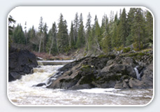
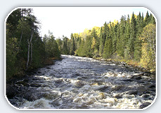
Wabagishik Rapids Final Environmental Report
Thank you to all stakeholders who have participated in the Environmental Assessment process for the Wabagishik Rapids project on the Vermilion River.
The public review period for the Wabagishik Environmental Report ("ER") has now ended. The 33-day review period for the final ER ran from September 30th, 2013 until 11:59 pm on November 1st, 2013. Thanks to all stakeholders for their comments.
For more information, please see this cover letter.
List of Annexes & Appendices
- Annex I - Operating Plan, Hydraulic Modeling, Hydrology, Erosion Studies & Sound Study
Part I, Part II - Annex II - Construction Management Plan, Project General Site Layout Plan, Project General Powerhouse and Spillway Sections, Preliminary Erosion & Sediment Control Plan
- Annex III - Natural Heritage Assessments (Natural Environmental Characterization & Impact Assessment Report & Appendices, Walleye & Sturgeon Spawning Parameters, Preliminary Fish Habitat Compensation Plan, Preliminary Biological Monitoring Plan, Baseline Environmental Conditions for Road Options)
Part I, Part II - Annex IV - Surface Water Quality Studies
- Annex V - Archaeological Assessment
- Annex VI - Access Road & Connection Line Summary (Power Lines & Road Summary, Site Access & Powerline Route Index Map)
- Appendix A - Waterway Designation, MNR Site Information Package & Zone of Influence Rationale
- Appendix B - Project Description
- Appendix C - Agency Consultation
Part I, Part II, Part III - Appendix D - Public Consultation
Part I, Part II, Part III - Appendix E - Aboriginal Consultation & Engagement
Last updated November 11, 2013


